PawCount – Transforming Animal Welfare with Smart GIS Tracking
Turning Data into Animal Rescue Action
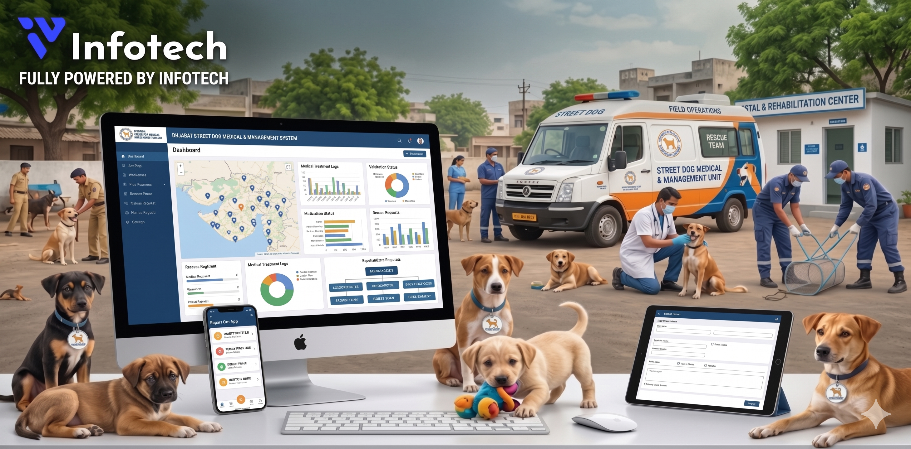
PawCount is a GIS-powered animal welfare and dog tracking web application developed by IV Infotech. The platform enables government bodies, NGOs, and veterinary teams to manage stray dog surveys, route-based field tracking, sterilization (ABC) programs, and shelter care through a centralized, role-based system. With Google Maps integration, real-time data capture, and advanced reporting, PawCount improves coordination, accuracy, and decision-making in dog population control and animal care management.
Services: Custom Web Application Development · UI/UX Design · Google Maps Integration · Data Management System · Reporting & Analytics · Security & Access Control

Client Background
The client required a centralized web-based system to manage stray dog population control and animal welfare operations across multiple regions. The solution needed to support structured data collection for dog surveys, including location tracking, categorization, and real-time field updates. They also wanted seamless coordination between government authorities, NGOs, and veterinary teams.
Additionally, the client needed a role-based admin panel with modules for state, city, surveyors, associates, and NGOs to ensure controlled access and data visibility. Integration with Google Maps was essential for route planning and accurate geo-location tracking of surveyed dogs. The system also required advanced reporting features with filters and export options to improve decision-making and operational efficiency.
Quick Snapshot
Gallery / Screens
Key pages and layouts from the pawcount project.
Challenge / Problem
pawcount faced critical gaps that were directly limiting growth and customer trust.
Complex Multi-Role Navigation
Designing a smooth navigation flow for multiple user roles like Super Admin, State Admin, NGO, and Surveyor. Each role required different access, views, and permissions. Maintaining clarity without clutter was a key challenge.
Confusing navigation could reduce usability and slow down operations for field users.
Google Maps API Integration
Implementing accurate route planning with Google Maps for surveyors based on state, city, and area. Handling dynamic route generation and real-time location data was complex. Ensuring performance and API efficiency was critical.
Incorrect mapping could lead to wrong surveys and inefficient field operations.
Large-Scale Data Handling
Managing large volumes of dog survey data with multiple filters and categories. Ensuring fast loading, structured storage, and real-time updates was challenging. Data consistency across modules had to be maintained.
Poor data handling could affect reporting accuracy and decision-making.
Role-Based Data Security
Implementing strict role-based access so users only see assigned state or city data. Preventing unauthorized access while keeping the system flexible was complex. Required careful backend logic.
Security gaps could expose sensitive data and break system trust.
Advanced Reporting & Export
Building dynamic reports with multiple filters and PDF export functionality. Ensuring accuracy and performance while generating reports was a challenge. Needed clean and readable output.
Inefficient reporting would reduce usability for decision-makers.
Solution & Approach
PawCount is a GIS-powered animal welfare and dog tracking web application developed by IV Infotech. The platform...
Defined System Structure
- Defined user roles and hierarchy
- Planned modules for survey, NGO, and admin
- Designed scalable system architecture
Built Role-Based Interface
- Created clean and simple dashboard
- Designed role-specific navigation
- Improved usability for field users
Integrated Google Maps
- Added route planning with location hierarchy
- Enabled real-time survey tracking
- Optimized map performance
Structured Data System
- Organized dog survey and master data
- Implemented filters and search
- Ensured fast and accurate data handling
Developed Smart Reports
- Built filter-based reporting system
- Added PDF export functionality
- Enabled quick insights for decisions
Services Delivered
A comprehensive solution tailored for pawcount.
Custom Web Application Development
Developed a scalable, role-based animal welfare management system tailored to client needs.
UI/UX Design
Designed a clean and user-friendly interface for admins, NGOs, and field surveyors.
Google Maps Integration
Integrated GIS-based route planning and real-time location tracking for survey operations.
Data Management System
Structured and optimized database for handling large-scale dog survey and location data.
Reporting & Analytics
Built advanced reporting with filters and PDF export for better decision-making.
Security & Access Control
Implemented role-based access control to ensure secure and restricted data visibility.
Built-in Features
Drive engagement and conversions with smart, battle-tested functionality.
Role-Based Access System
Multi-level access for Super Admin, State Admin, City Admin, NGO, and Surveyor with controlled permissions.
Google Maps Route Planning
Integrated GIS-based route system for surveyors with area-wise tracking and navigation.
Dog Survey & Data Management
Centralized system to manage dog details, types, locations, and survey records.
Real-Time Tracking
Track survey activities and dog data updates in real-time across different regions.
Advanced Reporting System
Filter-based reports with export options for better analysis and decision-making.
Location-Based Data Control
Users can access only assigned state, city, or area data for better control and security.
Pet & Survey Master Management
Manage pet dog owners, breeds, colors, and survey categories in a structured way.
Measurable Results
The platform delivered immediate, measurable business impact in all key metrics.
Performance Metrics Comparison
| Metric | Before | After |
|---|---|---|
| Dog Survey Process | Manual tracking & delays | Up to 60% faster GIS-based surveys |
| Data Management System | Scattered & unstructured data | Centralized and organized system |
| Data Accuracy | Frequent manual errors | Up to 50% improved accuracy |
| NGO & Government Coordination | Limited communication | Up to 2X better real-time collaboration |
| Reporting & Insights | Time-consuming manual reports | Instant reports with smart filters |
| Data Security & Access | No proper access control | 100% role-based secure access |
| Animal Welfare Workflow | Offline and disconnected process | Fully digitized tracking system |